|
| ||||||||||
| | |||||||||
GEOLOGY The rocks consist
of alternating bands of shale and sandstone, with shales generally being
dominant.
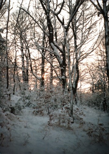
LANDSCAPE
SOILS Thin dry 'acidic soils' occur over sandstone, particularly on higher ground, as well as over shales on steep slopes. The depth and acidity of the soils is strongly affected by slope, with the thinnest and most acid soils being found on steeply sloping sites. Deeper and less acidic soils occur on flatter ground, even over sandstone. Neutral soils are mainly found on flat to moderately sloping ground over shales. They vary in depth and clay content and also from dry to seasonally wet, the wettest areas being on stream banks, in valley bottoms and by springs and wet nutrient rich areas known as flushes. Waterlogged soils are found in association with streams, springs and flushes. They occur mainly over shale, particularly where this meets sandstone strata. These conditions occur on the valley slopes as well as in the valley bottoms and by streams. Some of the springs are wet all year round but the flushes are more seasonal.VIEWPOINTS Because it is in a steep sides, heavily wooded valley, views from within The Lumb are very limited. Good views into the interior of the site can however be obtained from the surfaced paths that run along the eastern and western edges of the woodland. Close to where these two paths meet, at the southern tip of the site, the steep V- shaped valley cross section can be clearly seen. |