|
| ||||||||||
| | |||||||||
GEOLOGY The majority of Scholes Coppice is underlain by a fine-grained sandstone known as the Parkgate Rock. Outcropping to the south-west of the wood and then swinging northwards very close to its south-western and north-western edges, is the Fenton seam, which consists of several thin layers of coal and ironstone interspersed with shales. It was this coal seam that was exploited by opencast mining in the 1940s, resulting in the temporary destruction of half of the contemporary area of Scholes Coppice as well as the creation of what is now Keppel's Field. Evidence of earlier
mining can be clearly seen in Bray Plantation in the form of a large number
of mounds with central depressions. These mark the locations of former
bell pits in which a shallow shaft was sunk and coal or ironstone extracted
immediately around it. The mineral would have been brought to the surface
using a windlass or horse gin. Bell pits were sunk in the local area over
a long period, from very early times right through to the middle of the
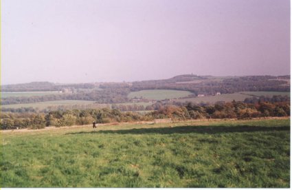
nineteenth century. LANDSCAPE The highest point in Scholes Coppice is at its south-west corner where it reaches 130 metres above sea level. From here, the ground slopes gently to the north-east before reaching an altitude of 76 metres above sea level at the north-east corner, close to the wetland area. Bray Plantation is flatter than Scholes Coppice, although it does slope slightly to the south and east. The woodland lies between 130 and 140 metres above sea level, making it just a little higher in altitude than Scholes Coppice. Scholes Coppice has
two seasonally flowing streams. One of these runs in a shallow but steep-sided
valley along the northern boundary of the wood and is fed by water from
Keppel's Field. The other, which is fed by natural springs, runs northwards
close to the eastern edge of the woodland Both streams feed a small wetland
area in the north-eastern corner of the wood, which sometimes has a 'pond'
of standing water; before continuing through Greasbrough to join the River
Don. SOILS
VIEWPOINTS Although the density
of much of Scholes Coppice does not allow views out of the woodland, the
western edge of the woodland does give views of Keppel's Column.
|